
How to Measure Your Yard for a Landscaping Project
How to measure a yard for landscaping by sketching boundaries, breaking irregular shapes into sections, and recording existing features for accurate planning…
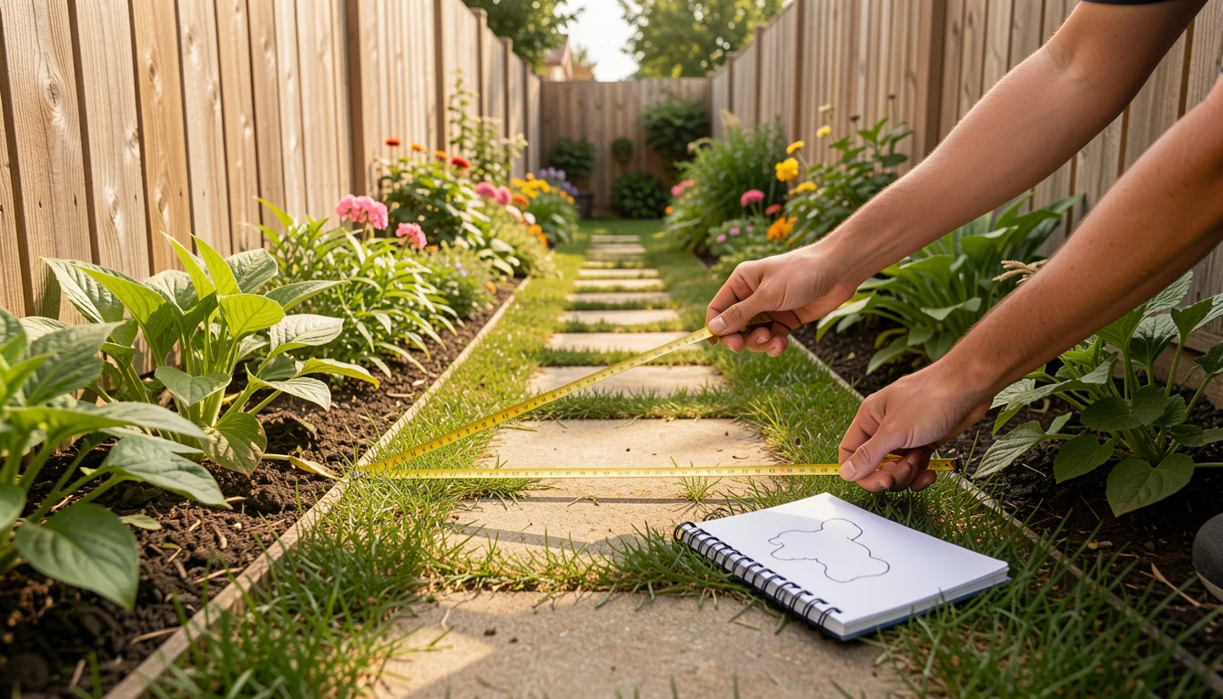 Measuring a narrow garden boundary
A narrow side yard can add more measuring work than a broad lawn because fences, corners, and planting beds break up the space. To measure a yard for landscaping, establish the area you’re planning, sketch its boundaries, record dimensions and fixed features, then divide irregular sections into shapes you can calculate. The result is a planning estimate, not a legal survey.
A useful sketch helps you estimate materials and gives a contractor a shared starting point for discussing the project. It also makes it easier to spot areas that should be measured separately, such as a lawn, a proposed garden bed, or a sloped strip.
Key Points
- Measure the project area, not automatically the entire property; exclude structures and surfaces that will not receive the planned material.
- Break irregular outlines into rectangles, triangles, or smaller sections instead of treating the whole yard as one shape.
- Record existing features and site conditions because trees, slopes, drainage, and utilities can affect what can be built or planted.
- Use a homeowner’s sketch for planning and estimates; rely on a licensed surveyor when exact property boundaries matter.
Tools and Boundaries for Measuring a Yard for Landscaping
For a planning-level yard measurement, define the project area, measure its sides and changes in direction, and record those dimensions on a sketch. A tape measure works well for short spans; a measuring wheel can speed up longer ground distances. Stakes and graph paper help mark corners and keep the drawing organized. Your measurements can support material estimates and contractor discussions, but they do not establish legal property lines.
Gather a tape measure, measuring wheel, clipboard or phone, pencil, graph paper, and a few stakes or flags. A helper can hold the far end of a tape across a lawn, but avoid pulling it across delicate plants or using a wheel where rocks and roots will distort its path.
Decide what the project includes before measuring. For a new lawn, outline the area to be seeded or sodded; for a patio, measure the proposed hardscape footprint. Property boundaries can be difficult to identify from a fence or hedge, so treat them as approximate unless confirmed by a survey or reliable boundary markers.
Sketch the Yard Before Taking Measurements
Draw a simple overhead view before walking the tape. Start with the house or another fixed feature, add the driveway and known yard edges, and choose one consistent starting corner. Mark north if you know it; that orientation can help you track sun exposure later.
Keep the sketch readable rather than artistic. Use a scale if it helps, such as one graph-paper square for a chosen number of feet, but write the actual measured dimensions beside the lines. Do not rely on the drawing’s proportions as a substitute for those numbers.
For a side-yard planting plan, note where the house wall, fence, gates, and downspouts sit before considering plant spacing. Those details can make a narrow area more constrained than its total square footage suggests.
Measure Lawn, Beds, and Irregular Areas
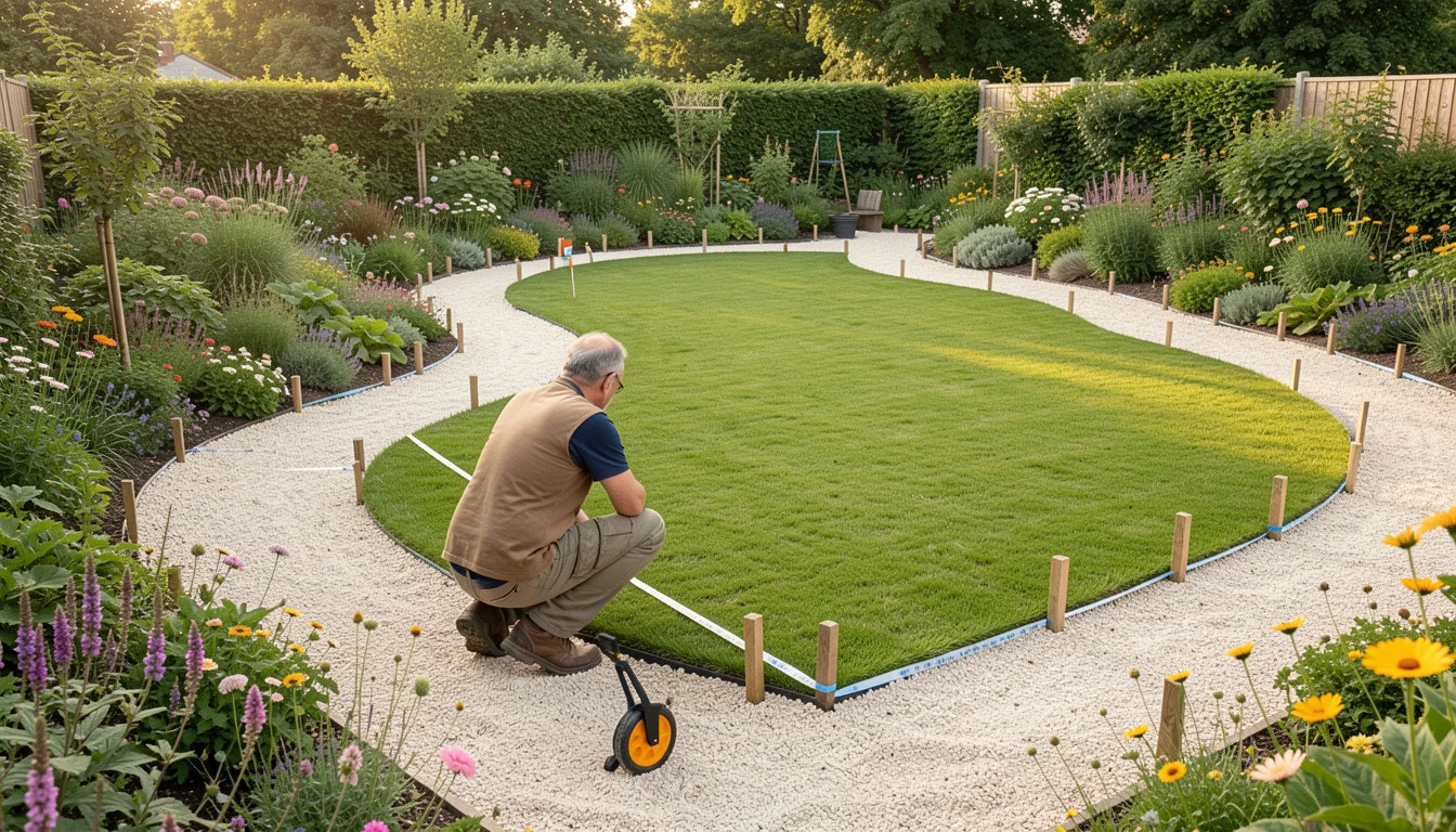
Measure straight-sided areas by recording length and width, then calculate the area using the appropriate shape. For a curved or uneven outline, divide it into smaller shapes, measure those sections, and add their areas. This gives a more useful estimate than stretching one rectangle over the whole space.
Shape Measurements to record Area formula Rectangle Length and width Length × width Triangle Base and perpendicular height Base × height ÷ 2 Circle Radius, from center to edge π × radius × radius Irregular area Dimensions for each smaller section Add the section areas; subtract excluded portions
For a curved bed edge, take several short measurements along the curve or approximate the shape with a series of straight segments. More measurement points generally make the outline more representative, but the result remains an estimate. For mulch or soil orders, confirm the supplier’s preferred units and account for the planned depth separately from the area.
Example: A proposed rectangular bed measures 12 feet by 8 feet, so its area is 96 square feet. A triangular corner beside it has a 6-foot base and a 4-foot perpendicular height, giving 12 square feet. Together, those sections cover an estimated 108 square feet before subtracting any area occupied by a feature that will remain uncovered.
Record Existing Features and Decide What Counts
Mark trees, shrubs, garden beds, paths, patios, fences, gates, utility boxes, downspouts, and visible irrigation components. Add approximate dimensions for features that take up space, and note which ones will stay, move, or be removed. A tree canopy may extend well beyond its trunk, while its root zone can limit digging even where the ground looks open.
Should the house, driveway, and existing garden beds be included in the total yard area? Include them only when the measurement is meant to describe the whole property or a defined project area that contains them; exclude them from a material estimate when the planned work will not cover them. Keep separate totals for lawn, proposed beds, paths, and hardscape so one number does not lead to ordering the wrong material.
If the plan includes a new rain garden, record downspouts and the direction water already travels; a rain garden designed for roof runoff depends on more than the size of its planting area. For mulch calculations, measure only the surfaces that will receive mulch. These front-yard mulch landscaping ideas can help connect the measured area to a specific design choice.
Note Slope, Drainage, Sun, and Soil
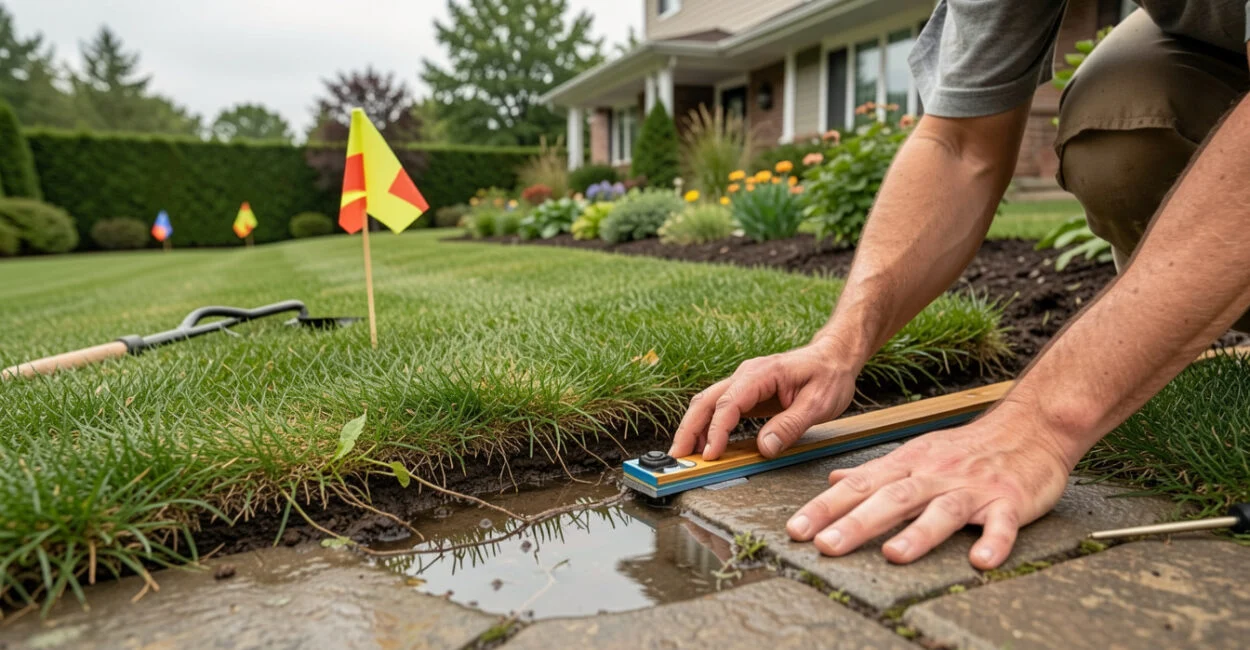
Measurements describe horizontal dimensions, but they do not show how water moves or how steep a surface is. Note where water pools after rain, where it flows, and whether a slope drops toward the house, a walk, or a neighboring lot. Mark the direction of the slope and any visible erosion or exposed roots.
Record which areas receive morning sun, afternoon sun, or persistent shade, and note wet or compacted spots. For broader soil context, the USDA Natural Resources Conservation Service’s Web Soil Survey provides mapped soil information; it cannot replace an on-site check of the specific planting area.
Before digging for edging, plants, or drainage work, contact 811 through your state’s service to request utility marking. The Common Ground Alliance explains the 811 process by state. Utility markings and private lines such as some irrigation or lighting systems may not cover every feature on the property, so verify what is included before excavation.
A useful landscape sketch records both the dimensions of the space and the conditions that limit how that space can be used.
Check the Sketch and Calculate the Total Area
Write every measurement beside the line it describes, include units, and label each area by its intended use. Split an L-shaped lawn into rectangles, for example, then add their areas; subtract a patio or bed only if it falls inside the measured outline and is excluded from the estimate. Avoid counting the same strip twice where sections meet.
Check the longest dimensions again and compare opposite sides where you expect them to match. If the sketch represents a rectangle, the two measured diagonals should be close; a large mismatch may signal a measurement or drawing error. On an uneven boundary, use extra points rather than forcing the outline to fit a clean shape.
How accurate do yard measurements need to be for a landscaping plan? For early layout and rough material estimates, measurements accurate enough to distinguish the project sections and their dimensions are usually useful. Recheck dimensions before ordering large quantities or building to a precise footprint; slopes, curves, irregular edges, and measurement access can make a simple calculation less reliable.
When a sloped section needs planting for erosion control, measure its boundary separately and note the slope rather than combining it with level lawn. The measured area can help compare options such as native groundcovers suited to slopes, but plant selection still depends on site conditions.
Use the Measurements for Materials and Next Steps
Share the sketch, dimension labels, feature notes, and separate area totals with a contractor. State which figures are measured and which are estimates, and identify unanswered questions such as a boundary location or drainage issue. The National Association of Landscape Professionals offers consumer information on landscape planning and working with professionals; a clear drawing helps make the first project conversation more specific.
When is a professional land survey worth getting? Hire a licensed surveyor when a project depends on the legal location of a property line, easement, or boundary-sensitive structure, or when records and visible markers conflict. A landscaping sketch cannot settle a property dispute or confirm setback requirements; check local rules and obtain a survey when those decisions depend on exact lines.
For the next step, label each planned surface and calculate its area separately. Use those figures to request a quote or estimate materials, then ask the contractor what additional measurements or site checks the design requires.
📱 See this content as a Web Story
Frequently Asked Questions
Can I Use an Online Map to Measure My Yard?
An aerial map can help you draft an initial outline, but trees, shadows, image age, and map resolution can obscure edges. Verify important dimensions on the ground before using them to order materials or set a buildable footprint.
Should I Add Extra Material to My Calculated Area?
That depends on the material and the layout. Cuts, seams, pattern, depth, and delivery units can change the amount needed, so use the area as a starting point and confirm the allowance with the supplier or installer.
What Should I Do If a Fence May Not Sit on the Property Line?
Do not use the fence as proof of ownership. Check available property records and have a licensed surveyor locate the boundary before planning work that depends on it.